

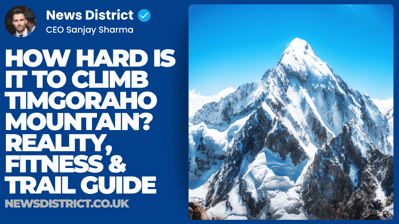
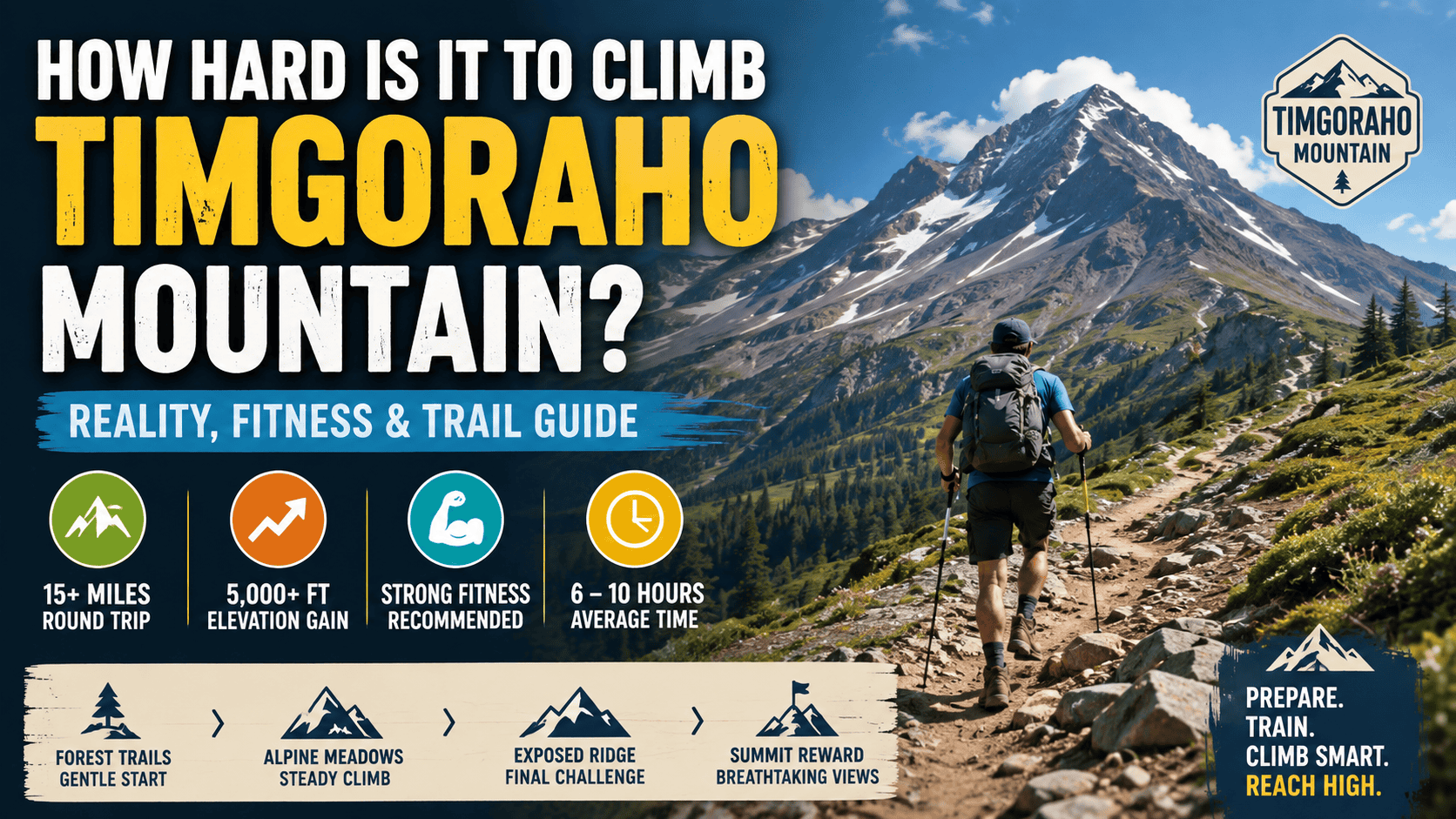
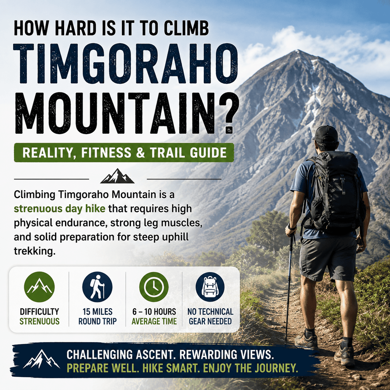
Climbing Timgoraho Mountain is rated as a strenuous day hike that requires high physical endurance, strong leg muscles, and solid preparation for steep uphill trekking. Most active hikers finish the 15-mile round-trip climb in six to ten hours without needing technical rock climbing gear or rope equipment.
Understanding Trail Elevation and Terrain Conditions
Timgoraho Mountain presents a physical challenge due to its combination of high total distance and significant steep elevation gain. Hikers start at lower forest trailheads and ascend through distinct ecological zones before reaching the exposed high summit ridge. Each zone features different ground surfaces, slope angles, and physical demands.
Lower sections of the mountain guide hikers through dirt forest paths and shaded tree valleys. Ground surfaces in these early miles consist of packed soil and clear dirt tracks. Slopes remain gentle to moderate during the opening miles, allowing climbers to establish a soft breathing rhythm and comfortable walking pace.
Middle elevation zones transition into wide alpine meadows filled with grasses and seasonal wildflowers. Ground surfaces become firmer and steeper, featuring uneven dirt paths, exposed tree roots, and scattered stone steps. Hikers must adjust their stride length to navigate sudden step increases while maintaining energy reserves for upper elevation sections.
Upper mountain zones deliver the most demanding terrain. Above the treeline, trails cross open rock fields, loose gravel switchbacks, and sharp shale ledges. Hikers must tread carefully over loose stones to maintain traction and prevent ankle rolls. Continuous mental focus is required on steep rock steps where the trail narrows near vertical drops.
| Elevation Zone | Terrain Description | Slope Angle | Traction Difficulty | Risk Factors |
| Lower Valley (Start to 7,500 ft) | Packed soil, dirt forest paths | $5^\circ$ to $12^\circ$ | Low | Tree roots, mud spots |
| Mid-Alpine Meadows (7,500 to 9,800 ft) | Dirt paths, root steps, stones | $12^\circ$ to $20^\circ$ | Moderate | Uneven footing, sun exposure |
| Upper Mountain Saddle (9,800 to 11,000 ft) | Rocky trail, stone steps | $20^\circ$ to $30^\circ$ | High | Loose gravel, joint impact |
| Final Summit Ridge (11,000 ft to Peak) | Loose scree, shale, bare rock | $25^\circ$ to $35^\circ$ | Very High | Strong winds, cliff drop-offs |
Comparing the Main Hiking Routes
Hikers can choose between two main established routes to reach the summit of Timgoraho Mountain. Both routes demand strong physical fitness, but they differ in overall distance, total vertical incline, trail features, and total completion time.
The West Ridge Trail is the most popular route among regional hikers. This trail measures approximately 15 miles round trip and gains 4,425 vertical feet. The trail maintains a steady slope spread across long switchbacks, which reduces immediate strain on knee joints. The lower half of this path meanders through pine woods before opening into scenic mountain basins.
The East Valley Trail provides a direct and steeper ascent to the summit. This route covers roughly 15.6 miles round trip and demands 5,383 vertical feet of climbing. Hikers gain nearly 1,000 additional vertical feet compared to the West Ridge Trail. The trail features continuous stone staircases, steep dirt climbs, and runs parallel to alpine waterfalls. Due to the increased vertical climb, this route requires extra energy and usually takes one to two hours longer.
Both hiking trails converge at the high mountain saddle located six miles from the lower trailheads. From this convergence point, all climbers share the same final 1.5-mile ridge trail to reach the summit hut and peak marker.
| Route Metric | West Ridge Trail | East Valley Trail |
| Total Round-Trip Distance | 15.0 miles | 15.6 miles |
| Total Elevation Gain | 4,425 feet | 5,383 feet |
| Average Completion Time | 7 to 9 hours | 8 to 10 hours |
| Trail Incline Profile | Moderate and steady | Steep and direct |
| Technical Class | Class 1 Walkup / Class 2 Scramble | Class 1 Walkup / Class 2 Scramble |
| Notable Trail Landmarks | Aspen forests, wide basins | Waterfalls, alpine lake junctions |
| Convergence Point Distance | 5.9 miles from trailhead | 6.1 miles from trailhead |
Physical Fitness Requirements and Muscle Demands
Climbing Timgoraho Mountain tests both cardiovascular capacity and leg muscular endurance. Understanding the physical demands helps hikers prepare their bodies for sustained high-volume exercise.
Cardiovascular fitness limits how fast a hiker can ascend without suffering systemic exhaustion. Continuous uphill walking elevates heart rates to 65 to 80 percent of maximum capacity for four to six hours straight. Climbers must possess strong aerobic bases to deliver oxygen efficiently to working muscles during extended periods of effort.
Muscular endurance determines how long leg muscles can function before cramping or failing. The uphill ascent relies heavily on concentric contractions from quadriceps, gluteal muscles, and calf complexes. Each step requires lifting body weight plus backpack weight upward against gravity over thousands of cumulative repetitions.
The descent creates different mechanical stress on the human frame. Downhill walking forces quadriceps and knee joints to undergo repetitive eccentric contractions to absorb landing impacts. Unconditioned hikers often experience severe knee strain and quadriceps fatigue during the final four miles of the descent. Core strength stabilizes the torso over loose rocks, preventing loss of balance.
| Muscle Group | Primary Movement Phase | Biomechanical Stress Type | Targeted Fitness Function |
| Quadriceps | Uphill push and downhill braking | Concentric ascent / Eccentric descent | Absorbs weight and powers step-ups |
| Gluteal Complex | Uphill drive on steep inclines | Concentric extension | Generates primary vertical power |
| Hamstrings | Knee stabilization on loose terrain | Isokinetic control | Balances joint forces during steps |
| Calves and Ankles | Toe push-off and balance adjustments | Continuous isometric and concentric | Prevents ankle rolling on scree |
| Abdominis and Back | Torso stabilization with loaded pack | Static isometric control | Maintains upright posture over rocks |
Eight-Week Training Program
Preparing for Timgoraho Mountain requires a structured workout progression that builds aerobic stamina, leg power, and joint durability. Non-elite athletes should commit to at least eight weeks of targeted conditioning before attempting the climb.
Weeks 1 to 2: Establishing Aerobic and Structural Base
Initial conditioning focuses on building cardiorespiratory fitness while adapting tendons and joints to increased training volume. Workouts consist of three weekly cardio sessions lasting 30 to 45 minutes at a steady, conversational pace. Bodyweight strength exercises twice per week prepare lower body joints for heavier workloads without causing excessive fatigue.
Weeks 3 to 4: Incline Adaptation and Weight Loading
Training shifts toward vertical movements during weeks three and four. Cardio sessions utilize stair climbers or treadmills set to high inclines between 10 and 15 percent. Workout durations increase to 60 minutes. Strength workouts introduce weighted step-ups using a 12-inch box while wearing a weighted backpack to build specific leg endurance.
Weeks 5 to 6: Peak Endurance and Long Training Treks
Weeks five and six represent the highest workload volume of the program. Mid-week sessions include high-intensity interval workouts to boost lung capacity and heart rate recovery. Weekend workouts feature a mandatory long outdoor hike lasting four to six hours with at least 2,000 feet of vertical climbing while carrying full trail pack weight.
Weeks 7 to 8: Tapering and Structural Recovery
Training volume drops significantly during the final two weeks to allow full muscle tissue repair and glycogen store saturation. Cardio efforts drop to light 30-minute sessions. Heavy leg exercises stop ten days prior to the mountain attempt to ensure full joint recovery and prevent trail day fatigue.
| Training Phase | Cardio Frequency | Specific Exercise Focus | Load / Resistance | Target HR Zone |
| Weeks 1-2 | 3 days / week (45 min) | Flat runs, cycling, bodyweight squats | Bodyweight only | Zone 2 (60-70% Max) |
| Weeks 3-4 | 4 days / week (60 min) | Incline treadmill, weighted box steps | 10 to 15 lb backpack | Zone 2 to 3 (70-78% Max) |
| Weeks 5-6 | 4 days / week (75 min) | Outdoor hill climbs, interval stair steps | 15 to 20 lb backpack | Zone 3 to 4 (78-85% Max) |
| Week 7 | 3 days / week (45 min) | Moderate hill walks, core stability | 10 lb backpack | Zone 2 (60-70% Max) |
| Week 8 | 2 days / week (30 min) | Light flat walks, full body stretching | Bodyweight only | Zone 1 (50-60% Max) |
Future Ready Offices in Cyprus | Modern Workspaces Designed for Tomorrow’s Businesses
Future ready offices in Cyprus are modern workspaces built for flexible work, digital tools, and long term business growth.

Seasonal Weather Patterns and Climate Management
Weather conditions on Timgoraho Mountain change rapidly based on season, air pressure shifts, and vertical elevation. Ambient air temperatures decrease by roughly $3.5^\circ\text{F}$ to $5.0^\circ\text{F}$ for every 1,000 feet of elevation gained. Hikers must prepare for cold temperatures at the summit even during summer months.
The standard summer window between late June and early August provides optimal trail conditions. Snow melts off high mountain passes by late June, allowing wild grasses and wildflowers to cover alpine basins. Summer days feature comfortable morning temperatures, but daytime heating causes atmospheric instability that generates swift afternoon thunderstorms.
Late summer and early autumn bring stable weather and lower humidity. August and September feature dry trail surfaces, fewer insects, and clear sky conditions. However, early fall days bring colder summit winds and shorter daylight hours, requiring early morning departures to complete climbs safely.
Winter conditions arrive by early November and persist into May. Deep snowpack, ice sheets, and sub-freezing winds cover the higher mountain sections. Attempting the mountain during winter requires specialized alpine equipment, snowshoes, crampons, and avalanche training.
| Season | Summit Temperature Range | Precipitation Risk | Trail Surface Status | Recommended Daily Start Time |
| Late Spring (May to Mid-June) | $30^\circ\text{F}$ to $50^\circ\text{F}$ | Moderate (Snowmelt/Rain) | Snowpack above 9,000 ft | 6:00 AM |
| Summer (Late June to August) | $45^\circ\text{F}$ to $70^\circ\text{F}$ | High (Afternoon Storms) | Clear dirt, open meadows | 4:00 AM to 5:00 AM |
| Early Autumn (Sept to October) | $25^\circ\text{F}$ to $60^\circ\text{F}$ | Low to Moderate | Dry soil, cold high ridge | 5:30 AM |
| Winter (Nov to April) | $5^\circ\text{F}$ to $35^\circ\text{F}$ | High (Snow/Blizzards) | Complete snow and ice cover | Technical winter access only |
Essential Gear and Clothing Layering Systems
Carrying proper equipment ensures safety, body temperature regulation, and joint protection on Timgoraho Mountain. Inadequate gear increases physical fatigue and risks hypothermia during sudden mountain storms.
Footwear must offer deep tread traction, durable upper materials, and solid ankle support. Hikers can choose between traditional mid-cut leather hiking boots or modern trail running shoes. Hiking boots provide high ankle rigidity over loose shale, while trail runners reduce weight and foot strain over 15 miles. Soles made with sticky rubber compounds provide necessary friction on wet rocks.
Clothing selection must follow a strict three-layer system. The base layer sits against the skin to wick away sweat during steep ascents. The mid-layer traps warmth using fleece or lightweight down insulation. The outer shell layer blocks wind and rain. Cotton fabrics must be avoided completely because cotton holds moisture, causing rapid body cooling when winds pick up on high ridges.
Trekking poles are critical equipment for long mountain hikes. Dual adjustable poles absorb up to 20 percent of lower body impact during downhill descent, protecting knee cartilage and hip joints. Poles also provide balance support when crossing loose scree fields.
| Gear Category | Specific Item | Material / Feature Specs | Operational Function |
| Footwear | Hiking Boots or Trail Runners | Vibram lugged soles, rubber toe caps | Rock traction and ankle support |
| Base Layer | Synthetic or Merino Shirt | Lightweight polyester or 150g wool | Sweat wicking and skin drying |
| Mid Layer | Fleece or Down Jacket | 200g fleece or 800-fill down insulation | Traps core thermal body heat |
| Outer Layer | Waterproof Hard Shell | Breathable membrane (Gore-Tex) | Blocks wind, rain, and snow |
| Equipment | Dual Trekking Poles | Aluminum or carbon fiber shafts | Reduces knee strain on descents |
| Navigation | Headlamp | Minimum 300 lumens with lock feature | Provides night trail visibility |
| Safety Kit | First Aid and Repair | Moleskin, athletic tape, bandages | Treats blisters and minor sprains |
Hydration, Metabolic Fueling, and Altitude Adaptation
Sustaining physical output over a 10-hour climb requires proactive hydration and structured food consumption. Metabolic exhaustion occurs when body carbohydrate reserves deplete completely.
Hikers must consume four to eight liters of fluid depending on heat levels and personal sweat rates. Carrying all water from the start adds significant pack weight. Many hikers carry two to three liters and use portable water filters to purify additional water from mountain streams along the lower trail sections. Adding electrolyte mix containing sodium and potassium to drinking water prevents painful muscle cramping and hyponatremia.
Caloric intake should remain steady throughout the hike. Climbers burn between 3,500 and 5,000 calories during a full-day summit attempt. Instead of taking one long meal break, hikers should consume 200 to 300 calories every 60 to 90 minutes. Energy gels, chewables, nut butters, and dried fruits provide easily digestible carbohydrates that enter the bloodstream rapidly without causing gastrointestinal discomfort.
Altitude effects become noticeable above 8,000 feet elevation. Reduced oxygen pressure causes breathing rates and heart rates to rise automatically during exercise. Hikers should slow their ascent pace near the upper saddle to prevent headache, nausea, or dizziness caused by mild high-altitude stress.
| Stage of Climb | Hourly Fluid Target | Caloric Intake Target | Recommended Food / Drink |
| Pre-Hike Start | 0.5 Liters (Water) | 400 to 500 Calories | Oatmeal, bananas, electrolyte drink |
| Lower Trail Ascent | 0.5 to 0.75 Liters / Hour | 200 Calories / Hour | Energy bars, dried fruits, water |
| Upper Mountain Climb | 0.75 to 1.0 Liter / Hour | 250 Calories / Hour | Electrolyte mix, energy chews, gels |
| Summit Ridge | 0.5 Liters / Hour | 150 Calories / Hour | Fast-acting simple sugars, water |
| Descent Return | 0.5 to 0.75 Liters / Hour | 200 Calories / Hour | Trail mix, salty jerky, water |
DVLA Pensioner Car Tax Prosecution | Rules, Penalties, and How to Avoid Fines
Yes, a pensioner can still be fined or prosecuted if a vehicle is untaxed, wrongly kept on the road, or used without the correct…

Trail Navigation and Safety Protocols
Safe navigation on Timgoraho Mountain requires advance planning, route monitoring, and strict self-discipline regarding turnaround times.
Hikers should carry both digital GPS offline maps on mobile devices and physical paper topographic maps. Cellular phone service drops completely once entering lower mountain canyons. Key decision points occur at trail junctions in the lower basins and at the high saddle convergence point where routes combine.
Setting a strict cutoff time is the most effective safety rule for preventing storm exposure on high ridges. Hikers should commit to turning back by 11:30 AM or 12:00 PM regardless of how close they are to the peak. Lightning storms build quickly over high peaks during afternoon hours, making exposed summit ridges extremely hazardous after midday.
Monitoring group members for symptoms of physical distress prevents minor issues from becoming dangerous emergencies. Severe fatigue, slurred speech, stumble steps, or blue lips indicate severe exhaustion or cold exposure. Affected individuals must stop, put on dry insulating layers, drink electrolyte fluids, and begin immediate descent to lower elevations.
| Emergency Condition | Recognized Symptoms | Immediate Required Action |
| Lightning Exposure | Dark clouds overhead, static hair, thunder | Descend off high ridges below treeline immediately |
| Acute Muscle Cramping | Involuntary muscle spasms, intense pain | Rest, stretch, consume sodium electrolyte mix |
| Hypothermia | Uncontrollable shivering, slurred speech | Add windproof shell, consume warm fluids |
| Foot Blisters | Hot spot sensation on heel or toes | Stop immediately, apply moleskin or athletic tape |
| Route Disorientation | Missing trail blazes, unfamiliar terrain | Stop, retrace steps back to last known marker |
Global Mountain Difficulty Benchmarks
Comparing Timgoraho Mountain to other recognized hiking routes worldwide provides clear context regarding its physical difficulty.
Timgoraho Mountain ranks higher in difficulty than standard non-technical day climbs due to its 15-mile distance and heavy elevation gain. It demands greater total energy output than Mount Tomorr in Albania or Mount Ramelau in East Timor, which feature shorter trail lengths and lower total vertical gains.
However, Timgoraho Mountain remains accessible to well-conditioned day hikers because it does not involve multi-day high-altitude logistics or extreme technical climbing like Mount Kilimanjaro in Tanzania. It serves as an ideal intermediate benchmark for hikers looking to test their stamina on long single-day alpine climbs.
| Mountain / Trail | Total Distance | Vertical Gain | Summit Elevation | Difficulty Classification |
| Mount Ramelau (East Timor) | 6.2 miles | 2,100 feet | 9,797 feet | Moderate short high-altitude walk |
| Mount Tomorr (Albania) | 10.5 miles | 3,200 feet | 7,927 feet | Moderate day trek |
| Timgoraho Mountain | 15.0 to 15.6 miles | 4,425 to 5,383 feet | High Alpine Peak | Strenuous full-day alpine hike |
| Mount Kilimanjaro (Lemosho) | 40.4 miles | 16,300 feet | 19,341 feet | Multi-day high-altitude expedition |
